| Hawaii SE Quadrangles: 1910-1933 | >> Manoa MAGIS >> Maps >> Quadrangles >> Hawaii 1910-1933 >> Hawaii SE 1910-1933 |
- These maps are a historical set of United States Geological Survey Topographical Quadrangle Maps at 1:31,650 scale, 1910-1933.
- A majority of the maps associated with this "set" are available for download with some exceptions. We are working on putting those on-line as well.
- For the Island of Oahu, the scale is 1:20,000
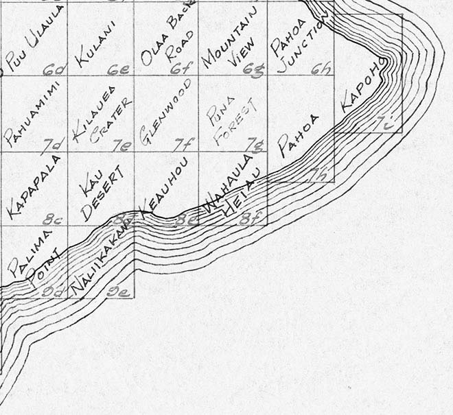
- Mouse over the part of the island to view the thumbnail version of the corresponding USGS quadrangle.
- The thumbnail appears below the menu on the right.
- To download a geotiff of the image, simply right-click on the corresponding region in the index map and select "Save Link As" or "Save Target As". You will get a zipped file which includes the TIF image, A PRJ and a TFW file. You may simple choose to look at the tiff file--in which case, make a copy so as to not lose any of the information you need should you import into into a GIS.
Index